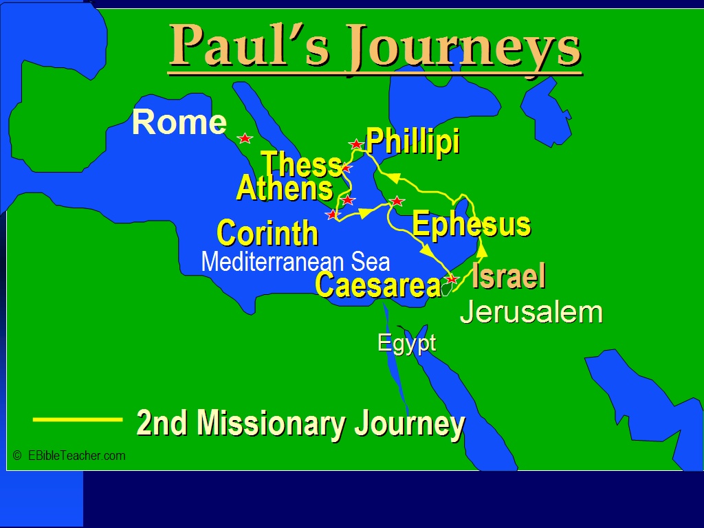
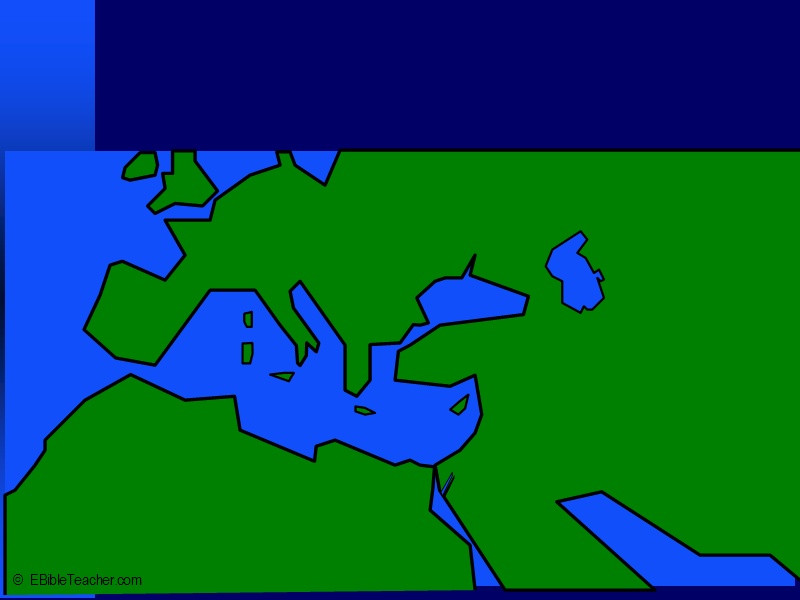
This map shows Paul’s 2nd missionary journey as described in Acts chapter 15:36 - 18:22. The cities of Philippi, Ephesus, Corinth and Thessalonica were later sent letters by Paul.
Note that the land is no longer divided by tribes. The people, however kept detailed records of their lineage and could easily describe from what tribe they had descended. This was particularly important in regards to determining who could serve as priest. Only descendants of the tribe of Levi were allowed to serve as priests.
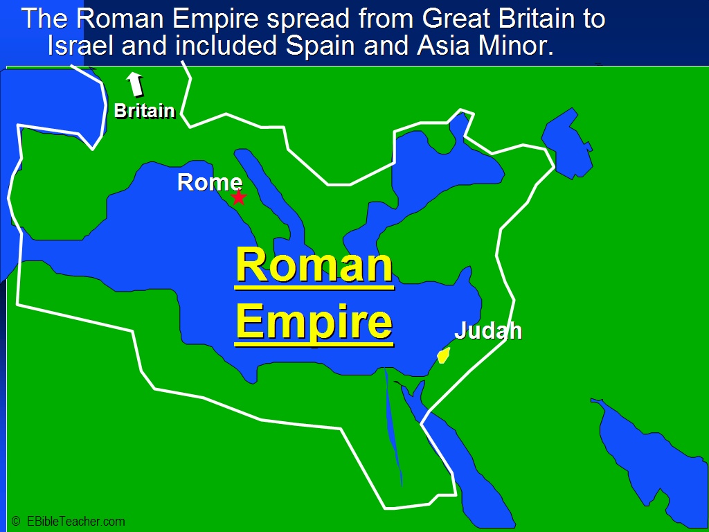
The Roman empire was in control of much of the world during the time of Christ. The empire helped in the spread of Christianity by providing a highway system and relatively safety.
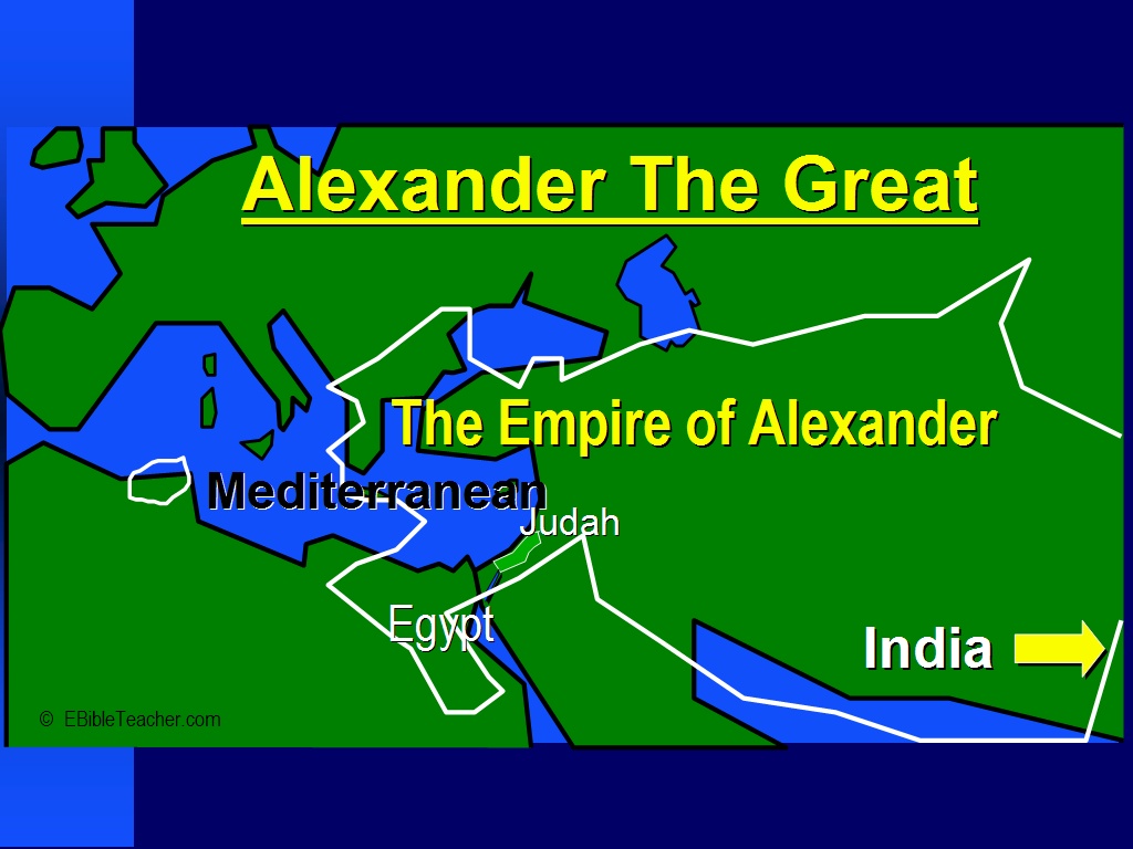
Although Alexander the Great is not mentioned in the Bible. The effects of his empire made great impact on the New Testament. Greek became the language of business and ultimately the language that the New Testament was written in.